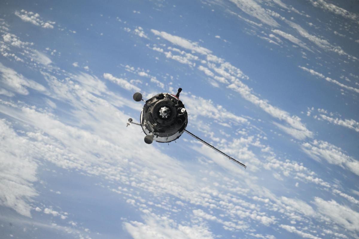
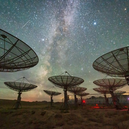
If you’ve been staying aware of various global disasters in recent years, you’re probably taken a look at some sort of satellite imagery. Satellites provided the images that revealed the extent of wildfires in Siberia and Greece this year, as well as a host of other disasters over time. Satellite imagery showed how the pandemic was affecting daily life in March 2020. And satellites can also be used to help prevent disasters.
When did the use of satellites to track ongoing crises become so widespread? A new article by Samantha Mathewson at Space.com looked back at the last 20 years to see how their usage has evolved. Mathewson cites the September 11 attacks as being among the first emergencies where satellite imagery came into play — both in the immediate aftermath of the attacks and a few days later, to get a sense of the extent of the damage.
The satellite responsible for obtaining those images, IKONOS, was “the only high-resolution commercial satellite in orbit at the time,” according to the article. It was launched in 1999 and continued to provide imagery until it was retired in 2015.
Over the last two decades, a number of advances in technology have enabled satellite imagery to be more widely available, and at faster speeds. A statement from Maxar Technologies, the company behind IKONOS, notes that “the most recent imagery [is] in the hands of U.S. government users within two hours of collection.” Sometimes, the view from above can offer a new perspective on something — and sometimes it demonstrates its severity.
Thanks for reading InsideHook. Sign up for our daily newsletter and be in the know.


