Editor’s Note: RealClearLife, a news and lifestyle publisher, is now a part of InsideHook. Together, we’ll be covering current events, pop culture, sports, travel, health and the world.
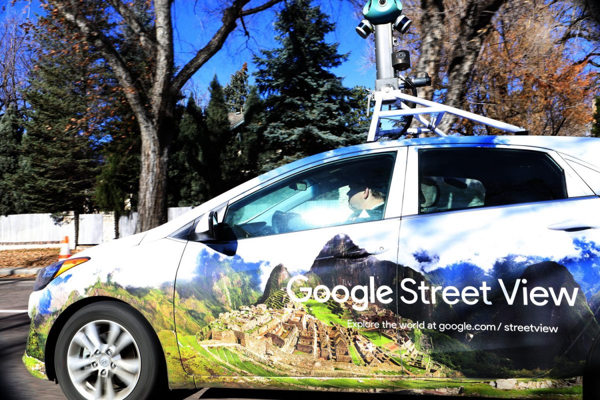
Google Street View, a function of Google Maps, is so much more than a way to virtually stalk your ex.
Researchers developed a way to use the images provided by the technology in 2017 to determine the distribution of different types of cars across the U.S. — a notably accurate identifier of individual wealth, education, job and voting preference. Today, another group of scientists from Stanford University and the University of Warsaw in Poland are using Street View images of people’s houses to determine how likely they are to be involved in a car accident, MIT Technology Review reported.
This new utilization of the tech adds to the growing list of privacy concerns U.S. citizens have about how their information is shared, especially since this type of analysis can potentially affect their insurance premiums.
After comparing the type of car registered to a home to what they could see of the house itself via Google, researchers found that the two factors had a lot to do with whether an accident could be accurately predicted.
“We found that features visible on a picture of a house can be predictive of car accident risk, independently from classically used variables such as age or zip code,” researcher Kinga Kita-Wojciechowska said.
Meet your guide

More Like This


Thanks for reading InsideHook. Sign up for our daily newsletter and be in the know.