The biggest problem with getting outside in the City of Angels? Being spoiled for choice. We’re distilling that process by getting the goods straight from the experts with a recurring series called Gear Trails.
Monday through Friday, Jason Mandly is an air-quality planner.
Then, on the weekends, he enjoys the fruits of his labors, hiking California’s best trails one by one.
Mandly recently shared the fruits of his epic wanderings by creating the California Hiking Map, a handsome piece of wall art adorned with nearly every hiking trail in our glorious state.
At 40” by 60”, its 5,864 red lines lattice a topography of the entire state and serve as a jumping-off point for those in search of new paths to explore.
Mandly’s favorite thing about hiking is the planning. So much so that he wanted a nice big paper map to help track his past hikes and discover new ones. It’s his captain’s log and inspiration board.
Here he tells us what went into making it, and imparts his top five hikes in the Republic.
How did you compile these maps?
I started assembling some trails from publicly available resources such as the U.S. Forest Service, Fish and Wildlife Service … Even though they’re available online, those trail databases needed a lot of cleaning up to remove roads, OHV routes, snowmobiling routes, etc. I also checked topo quads to make sure trails were not missing. The majority of of the trails on the map came from slowly moving from county to county, city to city, park to park, and digitizing (tracing) the trails over satellite imagery. Each label had to be hand placed so that it didn’t overlap with trails, other labels, or important features. It was tedious.
Why did you do it?
I thought it would be a unique challenge, and I wanted something that I could mark up to keep track of and memorialize the hikes that I have done throughout California. It also takes up less wall space than getting every national forest and park map on the wall!
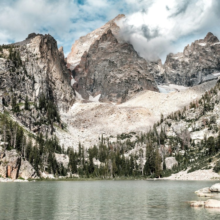
The Rae Lake Loop
Will there be a digital database so you can find trails on your smartphone?
I started this whole process with a bias towards a paper map. I’ve always been a fan of map books, globes and wall maps. I suppose I shouldn’t have been surprised that folks would want a digital version! If I work on one, it will probably be similar to the paper map, but with links on the trails and parks that would take folks to other sites (the park’s website, for example). I hope that this map can be a great launching point to research a little further. There are many amazing trail guides, blogs, websites and other resources already in existence that help with specific trail information and trail specific maps for navigation.
Okay, what are your top five favorite hikes in CA?
Only five? That’s tough!
- Thomes Gorge is not well known, a little tricky to get to, rugged and very scenic. I love camping at the base of the huge monolith hovering over the gorge.
- Four Lakes is a great trip to one of best infinity pools I’ve been to.
- Mt. Eddy is one of my favorite 360-degree viewpoints.
- San Jacinto is a Southern California classic with amazing views and a fun tram experience. It’s also where I first kissed my wife!
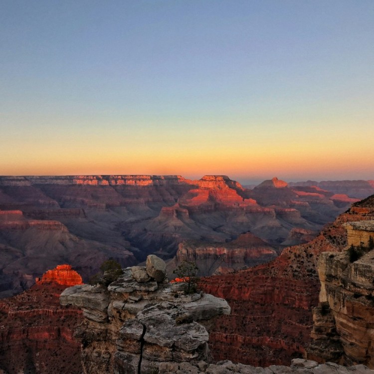
- The Rae Lakes Loop was very memorable. It’s hard not to be when it sends you right into the middle of the High Sierras.
An honorable mention is the Skyline to the Sea Trail in the Santa Cruz Mountains. Gorgeous redwoods and waterfalls!
Meet your guide
More Like This


The Charge will help you move better, think clearer and stay in the game longer. Subscribe to our wellness newsletter today.