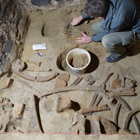
For nearly a thousand years, the town of Falerii Novi stood in the Tiber Valley. It’s been abandoned for around 1300, however, and much of the city is now below the surface of the earth, with only a few structures available to the naked eye. But now the city itself has been mapped — without anyone needing to dig into the ground or disrupt the city’s remains.
The mapping was undertaken via ground penetrating radar — the same technology that’s been used to “unearth” buried Viking ships and locate a lost World War II cemetery. At Business Insider, Aria Bendix has more information on the find. The results of the study, conducted by British and Belgian scientists, were published online earlier this month via Cambridge University Press.
Bendix writes that the survey of the city turned up a number of architecturally distinct and historically relevant features:
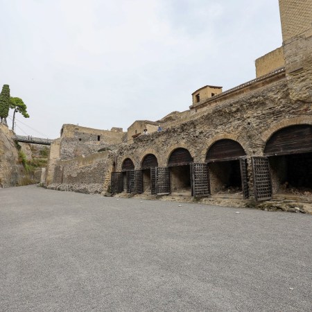
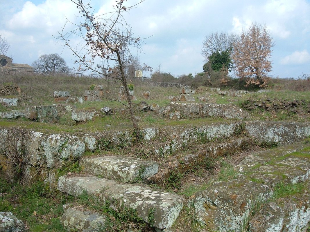
Though Falerii Novi wasn’t nearly as grand as Pompeii — a wealthy city buried under volcanic ash in 79 AD — the town had its own unique features. Its aqueduct, for instance, ran underneath its city blocks, as well as along the streets (the more common design for that time period). The researchers also found temples at the edge of the city, suggesting a sacred use of the land.
As the study’s authors note, what was discovered was significant, but so too was the method of how it was discovered. Their introduction to their findings dubs this “the results of the first high-resolution GPR survey of a complete Roman town.” Hopefully that means that there will be other such surveys in the future — all leading to a greater understanding of human history.
Subscribe here for our free daily newsletter.
Meet your guide