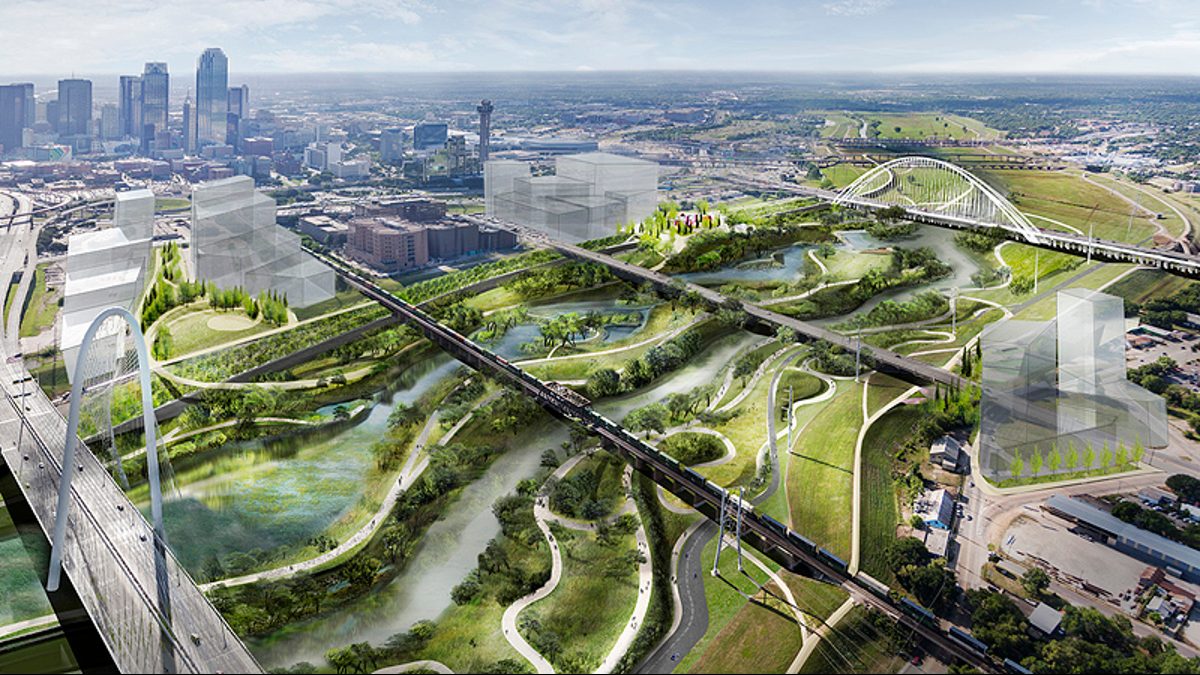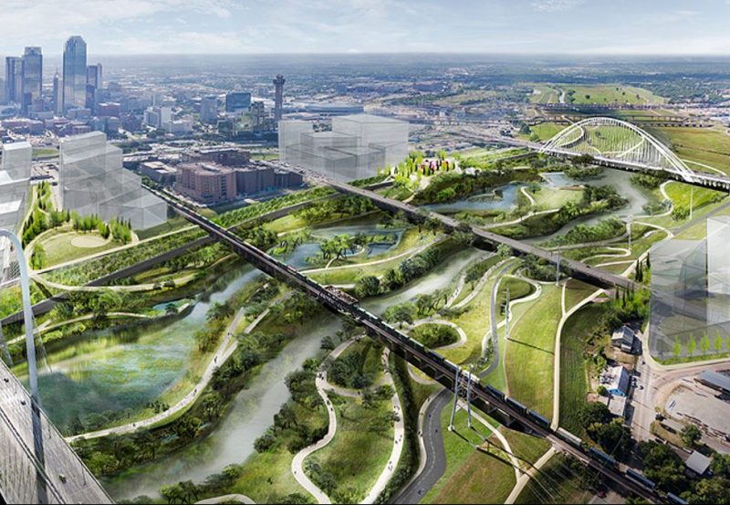
Never one for half measures, the city of Dallas has big plans for making itself a greener city. One of their most ambitious projects calls for creating a 10,000-plus acre “Nature District” along the Trinity River Corridor.
The Trinity River is a critical resource for the city, but large parcels of unused land impede public access to the area. Turning the area into a massive public park has been deemed the best solution, and Michael Van Valkenburgh Associates have big plans for the design and layout.
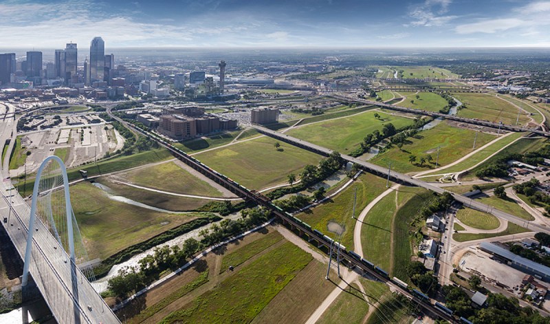
Their design, as these renderings show, accompany municipal efforts to connect the river with the city, and incorporate trails, meadows, and lakes to maximize public engagement with the area. Civic spaces, such as playgrounds, fountains, plazas, and lawns, are prioritized in their designs as well for similar reasons.
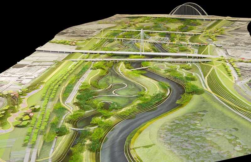
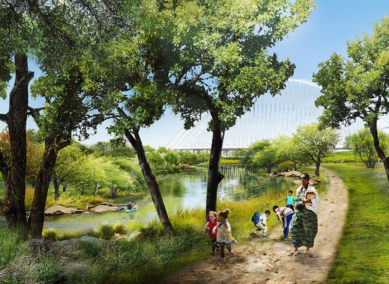
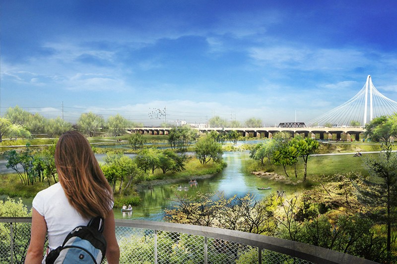
These designs have important ecological functions, too. Riverbank-focused landscapes reduce the vulnerability of the area’s trails and help curb erosion, and particular attention has been paid to the area’s primary function as a floodplain. In short, as pretty as it all looks, the area will serve a serious function: protecting the city of Dallas from the threat of flooding, which has greatly impacted the city in previous decades.
Similarly, these designs are meant to be adaptable to changes in the weather, and will be accessible during extreme weather events.
The project is still ongoing, but was given a major boost by a $50 million donation in October 2016. It joins a handful of other independent projects to help the city of Dallas go green, including the Trinity Forest Golf Club and trail-building efforts by the U.S. Army Corps of Engineers.
This article appeared in an InsideHook newsletter. Sign up for free to get more on travel, wellness, style, drinking, and culture.
