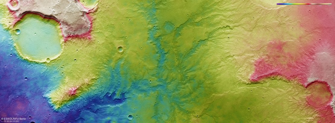
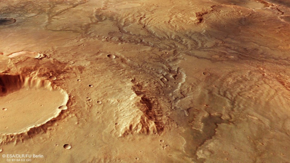
The European Space Agency blessed those on Earth with stunning images of Mars showing what scientists believe are the dried remains of ancient rivers that once meandered through the Red Planet’s surface.

As the ESA reported: “This image shows one such region: a system of valleys in the southern highlands of Mars, located east of a large, well-known impact crater called Huygens and north of Hellas, the largest impact basin on the planet. At 3.5 to four billion years old, the southern highlands are some of the oldest and most heavily cratered parts of Mars, with many signs of ancient water flow observed here.”
The tree branch-like river system looks an awful lot like river systems we have here on Earth. For example, the Yarlung Tsangpo river similarly meanders its way from western Tibet down through China, India, and Bangladesh.
Though researchers are unsure where the ancient river water came from, be it glaciers or atmospheric precipitation, what the riverbeds do reveal is that the planet, at one time, was much warmer and wetter than it is today.
By next year the ESA plans to land a rover called Rosalind on the red rock as part of their ExoMars mission. The team hopes to discover more data about the atmosphere on Mars, as well as travel to specific locations to drill below the surface in the search for signs of life.
Thanks for reading InsideHook. Sign up for our daily newsletter and be in the know.


