“You got it?” my wife Jenny asked, lowering her fully loaded bike with one hand while holding onto the rope with the other.
“I hope so,” I replied, grabbing the handlebars as firmly as I could. She let go and leapfrogged past me to the bottom of the gully, then turned to catch the bike as I eased it down. Just a few hours into our first day and already covered in sweat, it was clear this route wouldn’t be easy.
Thanks to a historically bad wildfire season, Jenny and I bailed on our original adventure plan, the Oregon Timber Trail. We have long wanted to bikepack the 650-mile singletrack route across our home state, but it wasn’t in the cards this year. To avoid walking our bikes through miles of ash, hurdling over hundreds of downed trees and breathing triple-digit AQI haze, we pivoted and headed to the coast.
Looking for a place with fewer people and plentiful dirt roads, we landed on Washington’s Olympic Peninsula. There wasn’t a well-established route around the Olympic Mountains, so we made up our own using a combination of Gaia GPS, Ride With GPS and beta from friends. The loop was around 400 miles with 50,000 feet of climbing, circumnavigating the range. We went in excited — but fully expecting to run into challenges.
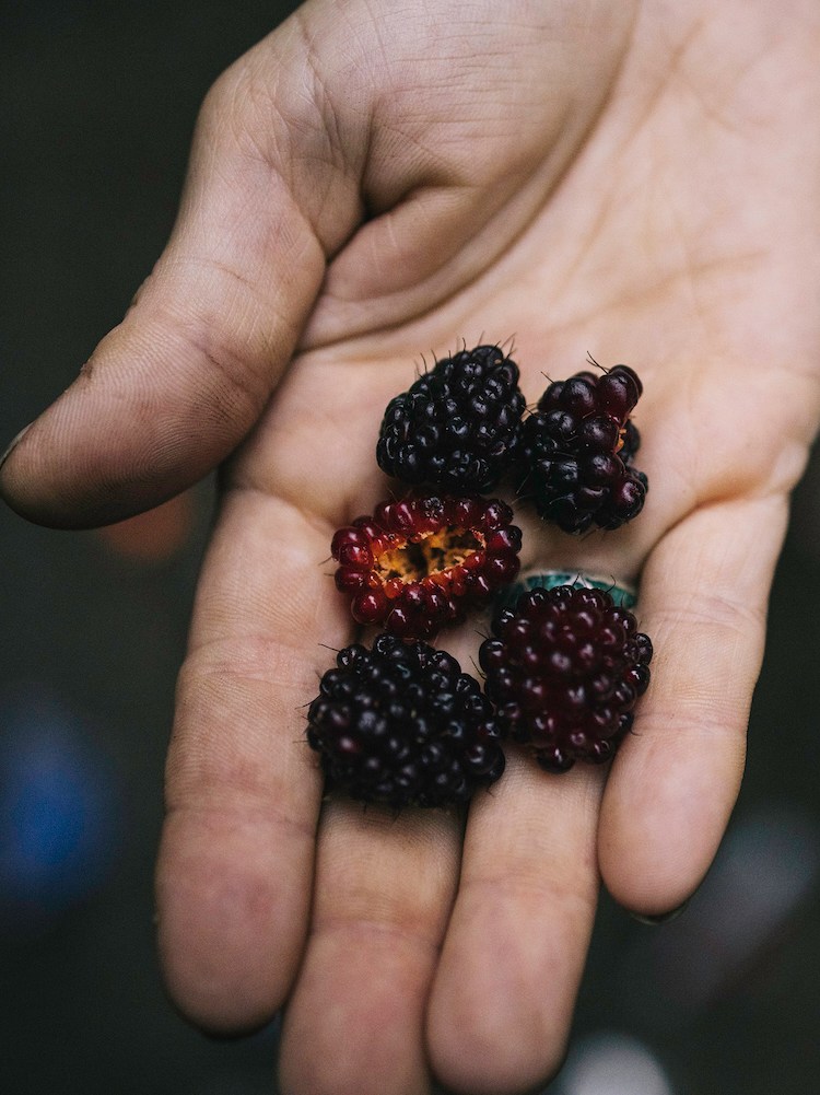
The route took us past towns like Port Angeles, Forks and Quinault, along the Olympic Discovery Trail for a few dozen miles, and over a number of rivers perfect for fly-fishing. Along the way we found plenty of blackberries, thimbleberries and salmonberries, saw a couple of black bears and even celebrated Jenny’s birthday in the Sol Duc Hot Springs. In other words, for those interested in a real-deal bikepacking adventure, read on.
What Makes the Olympics Special
Before I get into the exact route, let’s set the scene. The Olympic Mountains are unique for many reasons, but none more than their remoteness. Although they sit just 100 miles as the crow flies from Seattle, they are surrounded by water — the Puget Sound, the Strait of Juan de Fuca and the Pacific Ocean — and rise 8,000 feet above salty shores. Not a single road penetrates far into the range, let alone crosses it.
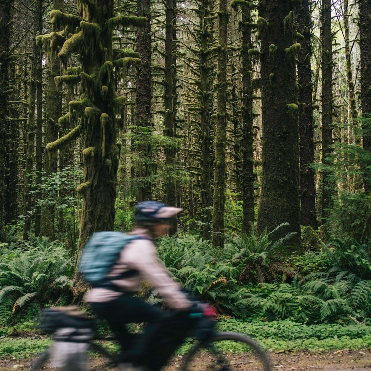
The interior is a tangle of glaciated peaks, pristine rivers and old-growth forests protected by Olympic National Park, a total of 1,400 square miles of real wilderness. Highway 101 loops around the perimeter, but we did our best to stay off it, riding just six sections for a total of 16 miles on tarmac. The appeal of the Olympics is the expansive network of old logging roads that skirt the park’s edges, climbing up and down drainages like the Hoh, Quinault, Quilcene and Queets.
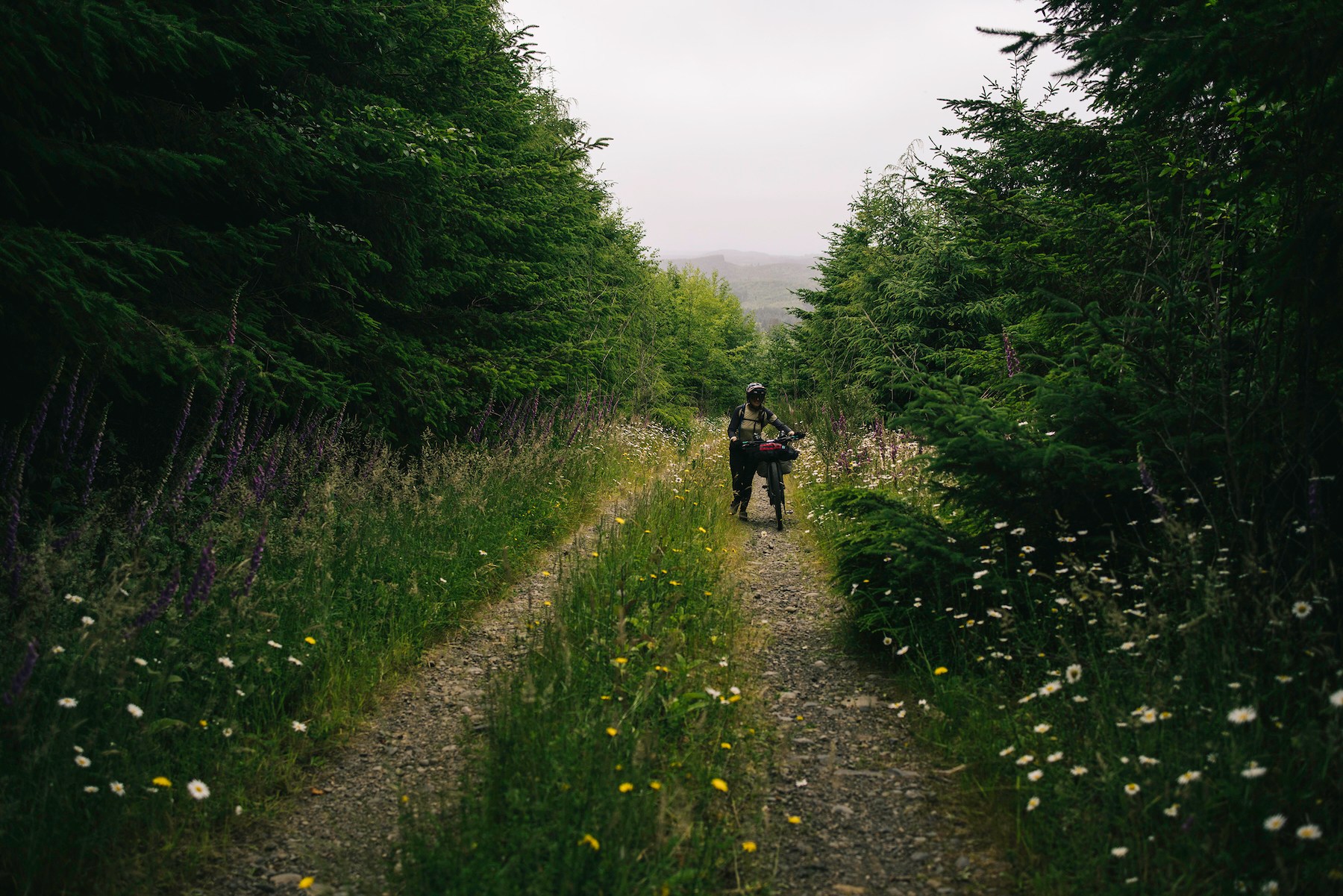
Many of the forest service roads are rough, washed out or gated, providing riders with lots of solitude and an occasional hike-a-bike. One of our biggest lessons was to check road closures beforehand, because winter storms often damage infrastructure and force long detours. One such detour added nearly 30 miles to our trip.
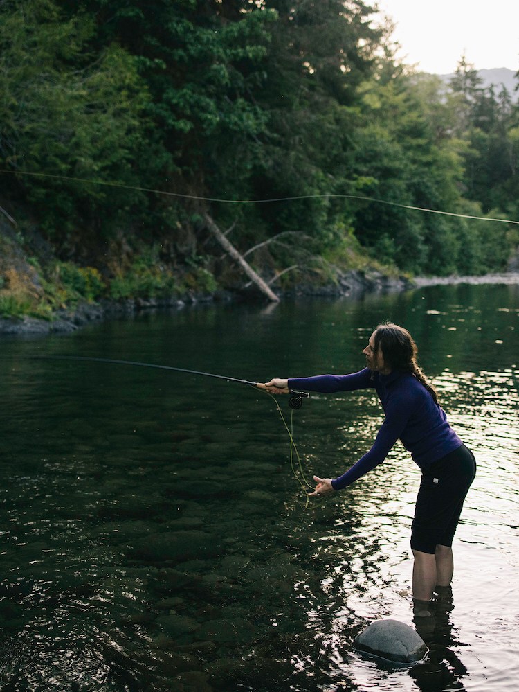
Thanks to a fully intact ecosystem, there’s a good chance to see deer, elk and black bears, which means you need to be careful where you camp and how you store your food. Late summer brings the most predictable weather (although still fickle on the west side), tons of fresh berries for quick sugar hits and surprisingly good fishing in rivers like the Hoh, Sol Duc and the recently undammed Elwha.
Roads, Resupplies and Our Route
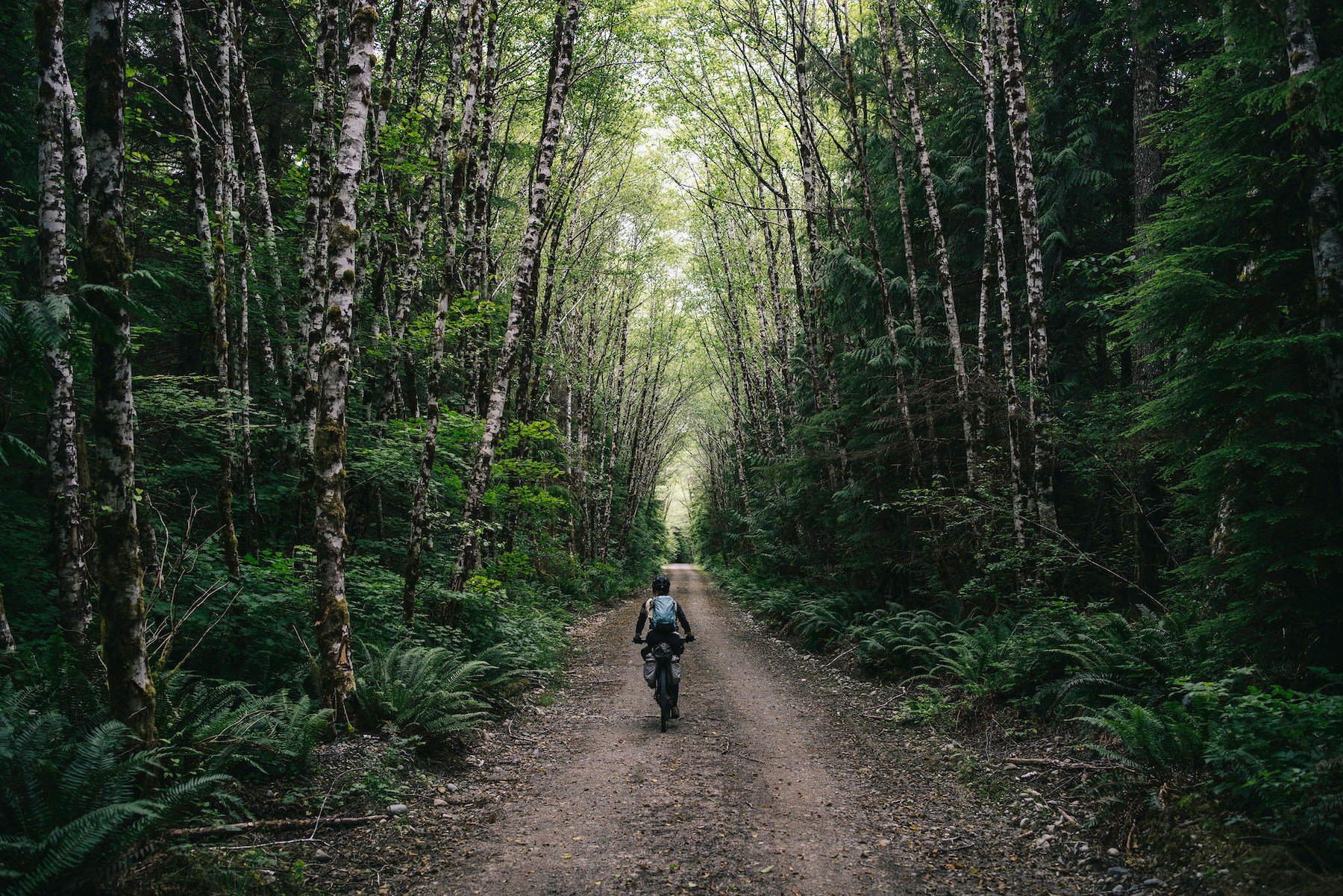
Bikes aren’t allowed within the national park’s boundary, but we made it a goal to stay as close to the park as possible without having to backtrack. This meant connecting gravel roads and trails between the large drainages on the east side, riding the Olympic Discovery Trail on the northern section (a multi-use path near Port Townsend, and loamy singletrack around Lake Crescent) and adventuring through a maze of logging roads in the Hoh Rain Forest on the west and south portions of the loop.
Occasionally we ran into roads closed to cars due to washouts, which in turn made them quite pleasant on a bike. And although parts of the route felt incredibly remote, resupplies are fairly easy. You can pick up food and visit the bike shop in Port Angeles (they helped us fix a bent derailleur), stop in Sequim or Forks at a grocery store, and grab a quick bite at a general store in Quilcene, Brinnon or Lake Quinault. These stops offer a ton of flexibility on how to break up the trip, and allow you to carry less at any given time.
Paddling Into the “Washing Machine”: An Expedition Across Scotland’s Freezing Lochs
Forget Nessie, former soldier Steven Kelly was busy enough trying not to drownDriving north from our home in central Oregon, we opted to start the loop at Lake Cushman on the southeast side. From there we headed north, riding counterclockwise. After a warm-up climb into the Hamma Hamma drainage, we began the ascent to Trap Pass, the highpoint of the trip. After a fast descent into Duckabush drainage, we did another short up and down into Dosewallips Valley, but ran into our first bushwhack near the bottom — the dramatic, rope-aided descent I mentioned earlier.
After successfully getting Jenny’s bike to the other side, we returned for mine. Suffice to say, all miles are not created equal. After another climb over Buck Mountain, we finished at an impromptu campsite on the Quilcene River, just large enough for a tent and cooking spot. Our second day was easier: we rode into the Port Angeles valley, spent an hour at the bike shop, traversed the Discovery Trail and rode past Lake Crescent on the Spruce Railroad Trail. Even with the long stop, we rode a full century and still had time to fish as we cooked dinner.
Day three began with a massive climb into the Sitkum River Valley and early lunchtime pizza in Forks before heading to the coast. The roads on the western section are a mixed bag — some serene and smooth, others not so much. We ended the day on the Hoh River, stopping early at a site filled with berries. The fourth day was our most adventurous, running into dead ends trying to access the Clearwater and Solleks River Valleys. We eventually found our way through, but were forced to return to Highway 101 to cross the Queets River. We then headed inland and found a nice campsite near the Salmon River, but spotted a mama black bear and her cub, so we kept pedaling for another 10 miles.
We started the final day pedaling past Lake Quinault and up the Humptulips River Valley, eventually reaching Humpnoochee Pass and dropping into the Wynoochee River. Despite strong legs and light bikes, this was the hardest day. The final two climbs into the Skokomish Valley and back to the ruck at Lake Cushman were brutal, but we just kept spinning, knowing there were burgers at the end.
Gear I Recommend for Biking the Olympic Mountains
Nota bene: All products in this article are independently selected and vetted by InsideHook editors. If you buy something, we may earn an affiliate commission.
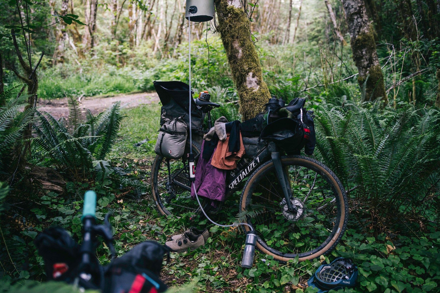
Specialized Diverge: Thanks to the Future Shock front suspension, the Diverge is one of the most comfortable gravel bikes for long days. For a trip like this, that advantage adds up very quickly. Plus, with clearance for 50mm tires, it has plenty of traction for chunky climbs, which are common. The SRAM wireless drivetrain makes shifting easy under load and the lightweight frame keeps the overall weight down, too.
Tailfin Rear CargoPack: This is the gold standard of bikepacking bags for a few reasons. First, it’s easy to take on and off at campsites, while remaining super secure during rides thanks to a simple, genius design. It offers a roomy 18 liters of internal storage and another three in the outside mesh pockets, which is great for layers and snacks. The inside is completely waterproof and the build quality is burly.
Hyperlite 20-Degree Mummy Bag: With cool, rainy nights, we opted for a slightly warmer sleep setup than summer bikepacking trips. I brought this 20-degree bag and had no regrets. Insulated with 1000-fill goose down, it is remarkably light for how warm it is, thanks in part to a great hood and comfortable neck seal. It compresses down to the size of a water bottle, making it easy to fit into the CargoPack during the day.
Coros Dura 2 Solar: For navigation, I brought a prototype of the Dura 2, thinking this trip would be a great test for it. I went the entire loop — over 50 hours of riding — without needing to recharge it, despite using the most accurate GPS mode. The 3.5-inch touchscreen works as seamlessly as my phone, making it ideal for adventure routes like this, when we’re constantly zooming in and out, searching for new options.

More Like This
We're always on the scene eating, drinking and traveling near and far to bring you the best of what's happening out in the real world. Sign up for IRL now.