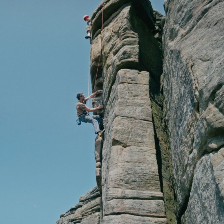
Because the memories of flirting with death by high-altitude pulmonary edema alone aren’t enough to remember your mountaineering conquests by, a new company is making 3D-printed “trophies” of the world’s most dangerous summits.
Nicetrails uses records from a GPS or smartphone app to turn any hike, climb or trek into a colorful, tactile, topographically accurate sandstone map that shows the scope of your accomplishment.
Nicetrails: Turn GPS Tracks into personal trophies, 3D Printed Mountains 0:46
The trophies — which come in small ($53), standard ($108) and big ($164) and can be shipped worldwide — will display your exact route via a red line. There’s also a sister service called Winterland that offers skiers, boarders and snowshoers a similar opportunity to show off their alpine adventures.
Designer Bernat Cuni came up with the idea for the service after climbing Mount Rainier. “I felt that a line on a flat map didn’t quite represent the awesomeness of the day spent conquering the top,” Cuni says. “So I really wanted to view my track in 3-D, to see the crests and valleys that I crossed.”
Top that.
More Like This

This article appeared in an InsideHook newsletter. Sign up for free to get more on travel, wellness, style, drinking, and culture.