Wildflower season comes but once a year.
Every year, we say we’re going to get out there. Then it’s July, and we haven’t, and the moment has passed.
So this year, we’re doing it right: by blocking out a couple Saturdays to take in some spectacular fields of wildflowers, from the Peninsula to Marin County to all points in between.
A word of caution: bloom dates vary massively from year to year and spot to spot, inland or coastal, by rainfall accumulation and between elevations — which should come as no surprise to residents of a city where the temperature can plummet 20 degrees from the point where you drive onto a bridge to the point you drive off of it. Check with the parks — or their Instagrams — for the latest.
Set your GPS for: Henry W. Coe State Park
Hike: Mount Sizer Loop
Distance: 15 miles
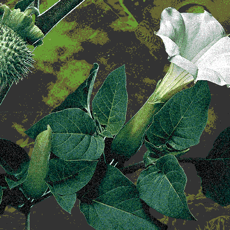
You’ll see: California buttercups, red maids and shooting stars
Fast fact: For up-to-the-minute bloom updates, see here.
Image: Sarah Manley
Set your GPS for: Mount Tam
Hike: Yolanda Trail
Distance: 5.25 miles
You’ll see: Monkey flowers, white milkmaids and Indian paintbrushes
Fast fact: See if you can schedule this around a guest day or open festival at the Tourist Club.
Set your GPS for: Point Reyes National Seashore
Hike: Chimney Rock
Distance: 1.8 miles
You’ll see: Basically everything, not limited to yellow bush lupine, wild poppies, mule ear sunflowers and more. We’re talking carpet-style wildflowers here, people.
Fast fact: Time it just right and you may be able to mix your wildflower viewing with seeing seals and/or whales, depending on the bloom dates and migratory times.
Set your GPS for: Russian Ridge Preserve
Hike: Bay Area Ridge Trail
Distance: 7 miles out-and-back
You’ll see: Lupines, puppies, mule ears, blue-eyed grass
Fast fact: From the top of the ridge, you’ll get both ocean and bay views.
Image: David Baron
Set your GPS for: Black Diamond Mines Regional Park
Hike: Black Diamond Mines loop
Distance: 5.3 miles
You’ll see: The rare Mt. Diablo Fairy Lantern, hayfield tarweeds, common coyotemint, and many more — see here for a frankly wonderful illustrated guide.
Fast fact: This was once the largest coalfield in California, and some of the mining apparatus is still on view today.
Image: Jose Asyn
Meet your guide
More Like This


The Charge will help you move better, think clearer and stay in the game longer. Subscribe to our wellness newsletter today.