The first three weeks of January brought the wettest period the Bay Area has seen in 161 years, but there’s a silver lining to the stormy clouds: the hiking will be glorious once things dry out. These diverse locales — from rolling green hills to lush woodlands with ocean views — will serve as perfect backdrops for hiking after the rain gives way to wide-open skies. So get your backpack, grab some water and a snack, and escape into the local wilderness with these eight epic hikes in the San Francisco Bay Area.
Point Reyes National Seashore Area
Bill’s Trail to Mount Barnabe Peak, Samuel P. Taylor State Park
After the rains, this six-mile loop to reach Barnabe Peak will have a brief fling with greenery, turning the usual sun-scorched landscape into gorgeous rolling grassland. Expect sweeping views of Tomales Bay, grassy coastal hills and ridges studded with redwoods. Heads up: the trail is challenging due to the length and elevation. Consider taking a break at the Stairstep Falls, a relatively flat 10-minute spur trail on your way to the peak that leads to 40-foot waterfalls.
What to know: Start at the Devil’s Gulch trailhead, one mile past the Samuel P. Taylor State Park entrance, and park in the large pullout across the street. Before you go, call the park kiosk at 415-488-0953 to get trail conditions.
5 Los Angeles Hiking Trails That Won’t Disappoint
Including an under-the-radar hike that won’t be overrun with locals and tourists alikeMarin County
Bootjack Loop Trail, Mount Tam
Muir Woods is a stunning national monument full of magical redwoods, but it sees about 800,000 visitors a year. This is a way to sneak into Muir Woods through the back door to avoid all those tourists. The moderate five-mile loop promises a rainforest-like setting after the storms, with waterfalls, rushing creeks and lush canyons.
What to know: You’ll find trailheads to several hikes across the street from the Pantoll Campground parking lot ($8 fee to park). For the loop, start on the Alpine Trail and then turn right onto the Bootjack Trail, which follows a creek down to Muir Woods. You’ll trek up the Ben Johnson Trail back to the parking lot to complete the loop.
Cataract Falls, Mount Tam
The waterfalls here are a sight to behold after the rains — and the main draw of this super dog-friendly trek. Hikers follow a winding woodland path — cloaked with ferns and mossy rocks — that runs parallel to a series of waterfalls rushing down Cataract Creek. You can approach this as an out-and-back hike, about 1.5 miles each way, or if you have several hours to spare, go for the longer loop. Either way, the uphill climb to the waterfalls will get your heart pumping.
What to know: Find the trailhead at the bend in Fairfax-Bolinas Road near Alpine Lake; street parking is nearby.
East Bay
Reinhardt Redwood Regional Park, Oakland
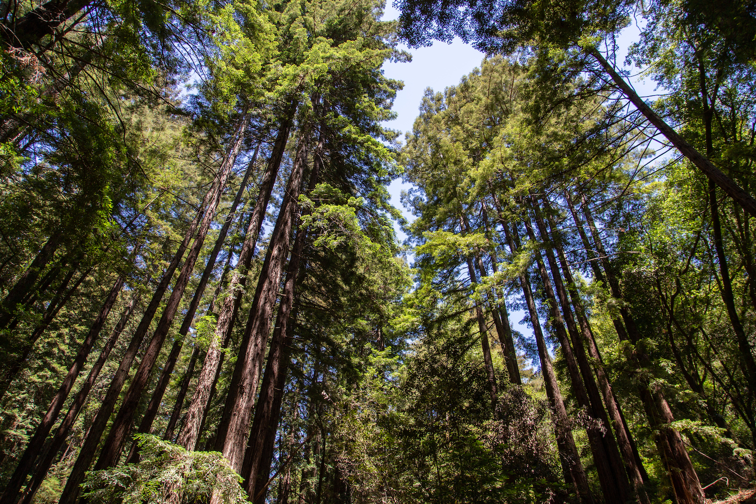
For those who don’t want to venture far from civilization, the largest remaining natural grove of coastal redwoods is right in Oakland. The Stream Trail Loop combines three different trails in a moderately challenging seven-mile hike that will take you the better part of an afternoon. But you can take shorter loop combos and still enjoy the lush, foggy forest. Winter is “newt-crossing” season, so join in an East Bay pastime and look for salamanders among the ferns.
What to know: Find parking at the Canyon Meadow Staging Area.
Fremont/Livermore Area
Murietta Falls, Ohlone Wilderness Regional Trail
Easily the hardest hike on this list (and perhaps in the entire Bay Area), this is an out-and-back 12-mile climb with constant ups and downs suited to experienced hikers, but your reward at the end will be a magnificent 100-foot waterfall (and total solitude). Kit up with your hiking gear and take advantage of the brief window after the rains; the falls are dry most of the year.
What to know: Rangers recommend parking at the Lichen Bark Picnic Area in Del Valle Regional Park. The trailhead is at the northwestern end of the parking lot, and all hikers must purchase a $4 annual hiking permit in advance.
The Peninsula
Crazy Pete’s Trail, Coal Creek Preserve
Water cascades down mossy rocks into a large pool at the end of the three-mile out-and-back hike in Coal Creek. With a location that’s 20 minutes from Stanford University and very little elevation on the dirt trail, it’s an ideal outing when you want a relatively easy jaunt to a waterfall. Dogs are allowed as long as they’re on leash.
What to know: Find parking information and directions to the trailhead at the Open Space Trust website.
Purisima Creek Redwoods Preserve
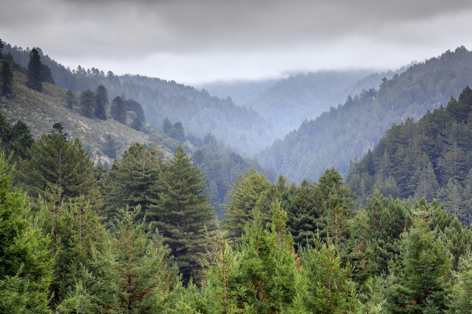
The Purisma Creek Trail rewards hikers with epic coastal views — and a few banana slug sightings, too. The reserve is located on the western Santa Cruz Mountains and affords unparalleled vistas of Half Moon Bay, making this a true Bay Area gem. We suggest taking the Britton Trail to Harkins Ridge Trail for optimal views (those who don’t want to stop can continue on to the Whittemore Gulch Trail).
What to know: The main parking area is located on Highway 35, with overflow in two smaller lots.
Los Trancos Trail, Palo Alto Foothills Park
Foothills Park is somewhat of an undiscovered gem with hikes for all abilities. Not too long ago, non-resident access was restricted, but during the pandemic, the Palo Alto City Council finally opened the park to the general public. In warmer months, Los Trancos Creek is merely a trickle, but you can admire the rushing water after the rains. The Los Trancos Trail Loop follows the creek and takes you past trees dripping in lichen, an interpretive center and views of the Portola Valley.
What to know: There’s a $6 fee to park.
Whether you’re looking to get into shape, or just get out of a funk, The Charge has got you covered. Sign up for our new wellness newsletter today.
