If you’ve used Google Maps to navigate when you drive, you’ve probably found it to be very reliable, except in the rare instances where it’s not. Maybe it’s suggesting you make a left turn where left turns are prohibited; maybe it’s suggesting that you pull a 180 in the middle of a highway. Either way, it’s easy to see when the app might be working with limited information and adjust your travel accordingly. It’s not like it’s going to guide you into a brick wall at high speeds.
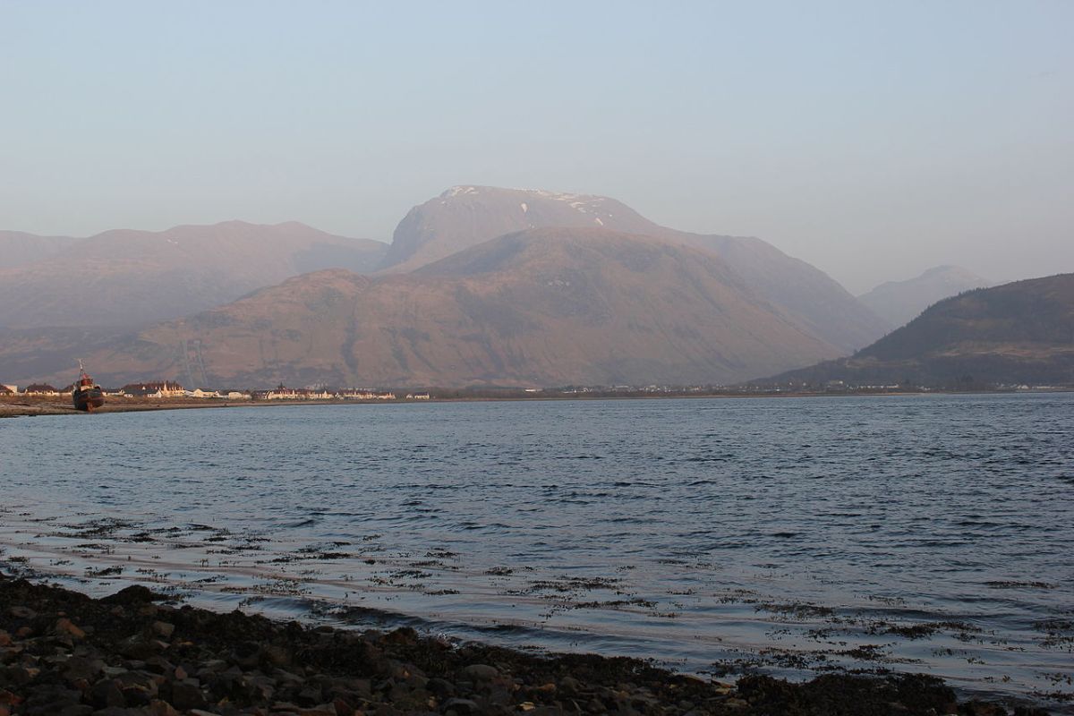
But what if the app in question did something just as unsafe? That’s what a number of mountaineering groups are arguing is exactly the case. A new report at The Guardian reveals that the John Muir Trust has raised an alarm over the app’s suggested route up Ben Nevis, the highest mountain in the United Kingdom.
The issue at hand here appears to be that Google points some users to the Upper Falls parking lot, which is located near the summit. The problem there? Going from there to the summit on foot can be treacherous.
“The line goes through very steep, rocky, and pathless terrain where even in good visibility it would be challenging to find a safe line,” said Heather Morning of Mountaineering Scotland. “Add in low cloud and rain and the suggested Google line is potentially fatal.”
A conservation official described seeing “groups of inexperienced walkers” making their way via routes that were not suitable for reaching the top of the mountain.
Nonprofits have raised similar issues regarding other mountains in Scotland as well. When asked for comment, a spokesperson for Google replied, “We built Google Maps with safety and reliability in mind, and are working quickly to investigate the routing issue on Ben Nevis.”
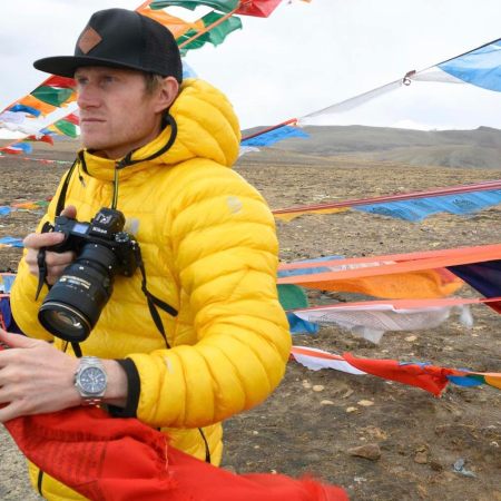
Meet your guide