In 2016, an article in The Guardian put the spotlight on scientist Marie Tharp, whose work was crucial to mapping the ocean floor in the mid-20th century. Tharp’s work referenced a combination of geological research and sonar data, and yielded information that helped expand human knowledge of the planet and its history. Mapping the ocean floor remains a complex endeavor, with numerous methods involved — including aerial systems.
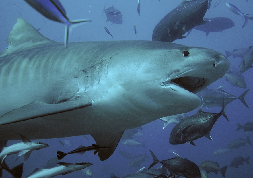
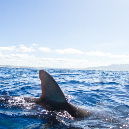
When exploring the bottom of the ocean, it helps to have assistants who are at home in deep water and can travel quickly from one place to another. We’re not talking about scuba divers here; instead, for a recent effort to map vast fields of seagrass, some scientists turned to tiger sharks to help.
A new article in Smithsonian Magazine has more details on the area covered, which can be found near the Bahamas. The scientists who conducted the study believe the seagrass patch “could be as large as 35,521 square miles,” as Smithsonian‘s Margaret Osborne writes.
The scientists who worked with the tiger sharks published their findings in Nature Communications, along with more details on how they surveyed the seagrass. The scientists noted that tiger sharks were chosen because of their “strong fidelity to seagrass ecosystems,” and note that similar methods have been used with other species, such as sea turtles.
The paper goes on to note that this study involved “the first-ever deployment of a 360-degree camera borne by a marine animal” — in other words, a version of the Google Street View car that could eat you.
Could we see more shark-based research in the future? The scientists behind this study make the case for it, noting that “[l]arge, highly mobile marine megafauna should be viewed as important collaborators in future research and conservation efforts.” Science can indeed make strange partnerships happen.
Thanks for reading InsideHook. Sign up for our daily newsletter and be in the know.


