While you’re watching the next reporter-on-the-scene report from hurricane-tossed Florida on CNN or Fox News, know that there are others carrying out an even more dangerous feat: flying directly into the eye of hurricane.
As Esquire explains, this type of weather forecasting, which makes your local guy look like a boy scout, began during World War II and has helped save innumerable lives on the ground. (You’ve likely seen images of the U.S. Air Force Reserve’s WC-130 cargo plane or NOAA’s WP-3, the usual stormtracking aircraft of choice.)
Why is such daredevilry needed? While your local weatherman can crunch doppler radar data from the ground, while the storm is making its way above, that equation gets torn apart when a hurricane forms out at sea (i.e. there’s no reliable clip of weather stations or forecasters in the middle of the Atlantic).
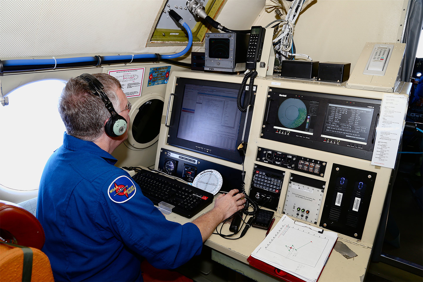
Hence the need to go air-ward—often at altitudes of just 1,500–10,000 feet—to actually reach what is called the eyewall of a hurricane, where onboard experts can take a real-time pulse of just how powerful (or soon-to-be-powerful) a hurricane can get. This is also executed via “disposable” sensors, which the plane actually drops right into the mayhem, which second-to-second updates on how negative an impact said hurricane could have.
All of the data gleaned mid-hurricane is then sent to the ground, where it is further processed by meteorologists, who then track it via computer models. These provide us affected folks on the ground with how a storm of such magnitude will progress.
This article appeared in an InsideHook newsletter. Sign up for free to get more on travel, wellness, style, drinking, and culture..


