Lyft and Uber have done a lot for LA’s nightlife and workforce, but their benefits to nature-lovers are often overlooked. Consider the Santa Monica Mountains: over 69 miles of trails that can be accessed from a profusion of entry and exit points. By using ride-shares, you can enter one park and get picked up at another one miles away; the routes available to you suddenly exponentiate.
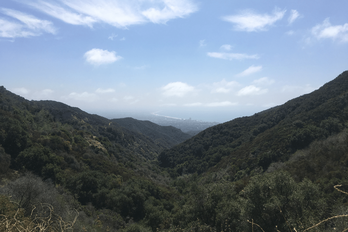
If this is your first time traipsing between parks, we recommend the Temescal Canyon to Will Rogers Loop for 14+ miles of butt-busting inclines, stunning views of the Pacific and the mountains and plenty of soul-quenching solitude. You’ll find lighter temps and crowds earlier in the morning.
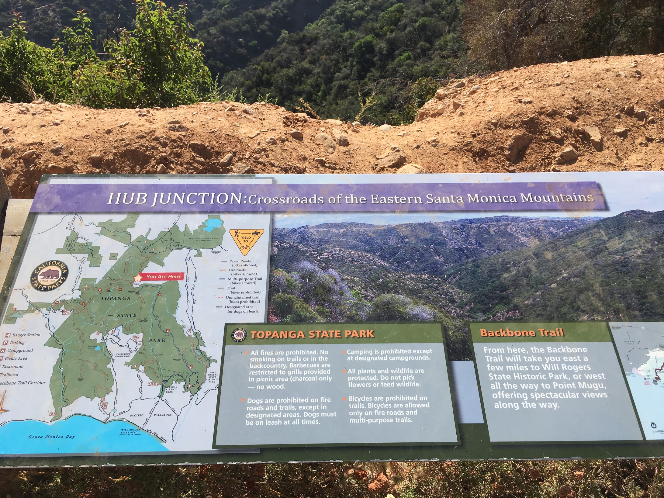
The Rivas Trail is 2.5 miles that connects the two parks, skirting the neighborhood above Palisades Village. The Backbone Trail, also about 2.5 miles, follows the Temescal Ridge above the Parks. Forgo Rivas — you won’t miss much, and there’s something nice about starting in one park and ending in another a la Lyft.
Opt to start in Will Rogers. The signal is wonky here so getting a post-ride can prove tricky. It’s wonky at Temescal, too; however, Temescal is a short walk to Palisades Village, which has free wifi and a new Erewhon Market, where you can reload on some salubrious refreshments. Also, the Backbone Trail is easier to pick up at Will Rogers. If you start at Temescal, the first access is slightly obscured and the second (which is referenced on Alltrails) is closed.
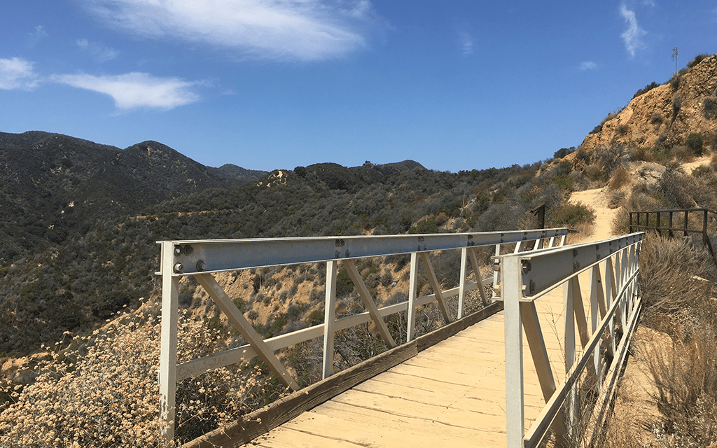
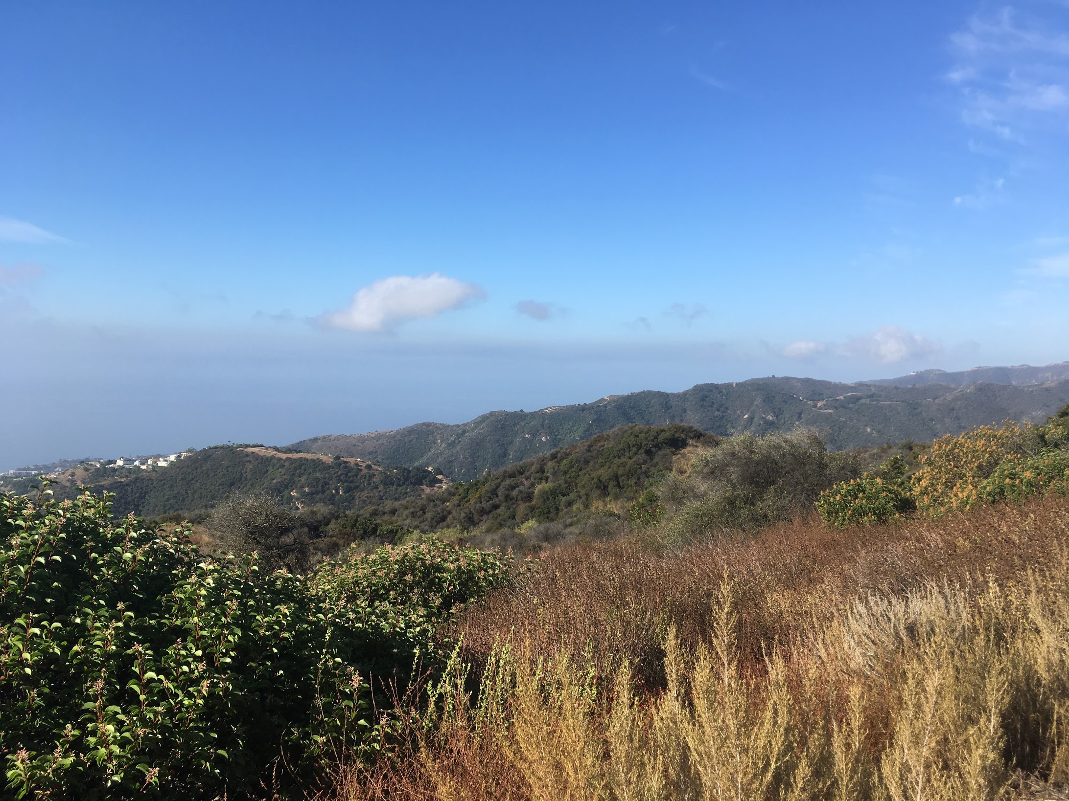
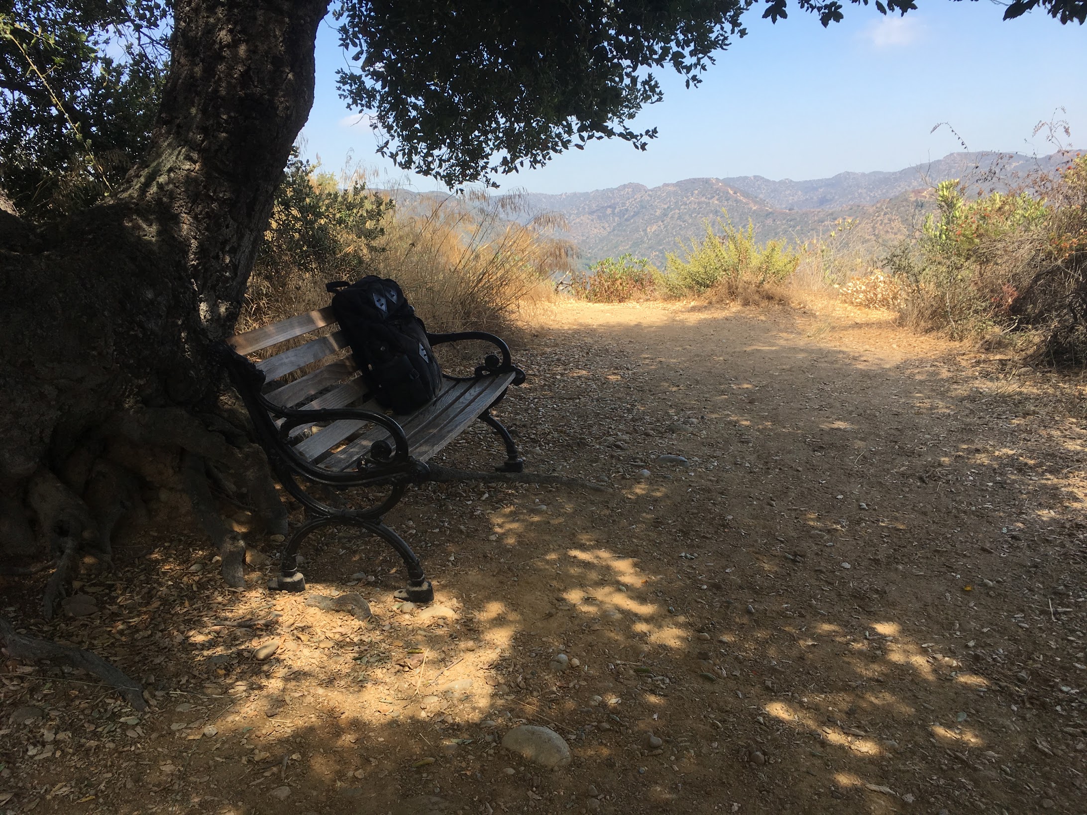
The Backbone Trail is both literally and metaphorically the apex of this hike. It hugs Temescal Peak and every switchback provides fresh vistas, ravines blanketed in coastal sage, walls of Mediterranean grass that fuzz in the breeze, and shady zones where oak, walnut and sycamore umbrella the trail. It’s hot up here, so refuel in those shady areas, like the one where a little bench sits hidden under an oak (see photos above). Use a handkerchief to dry off before reapplying sunscreen.
Be safe. Tell a friend what you’re doing, text them your route and when they should worry if you haven’t touched base. Bring a pack with close to four liters of water, sunscreen, snacks, a windbreak layer, a hat, a knife, a first aid kit and a flashlight. Pro tip: use a geo map like Alltrails, and pay extra so you can download maps. Also, the lack of signal will drain your phone’s battery; bring a back-up battery.
Now get out there.
Related:
How to Not Get Lost in the Woods (And What to Do If You Fail)
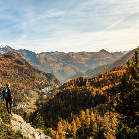
The 8 Best Historic Hikes Near LA
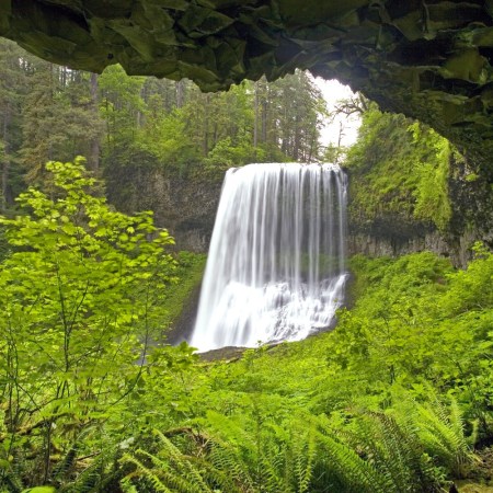
The 6 Best Waterfall Hikes Near LA
Meet your guide
More Like This


This article was featured in the InsideHook LA newsletter. Sign up now for more from the Southland.