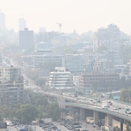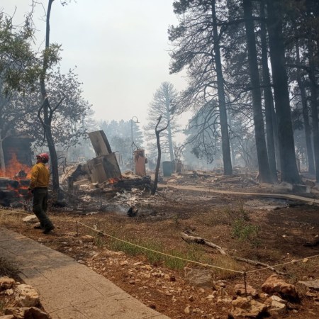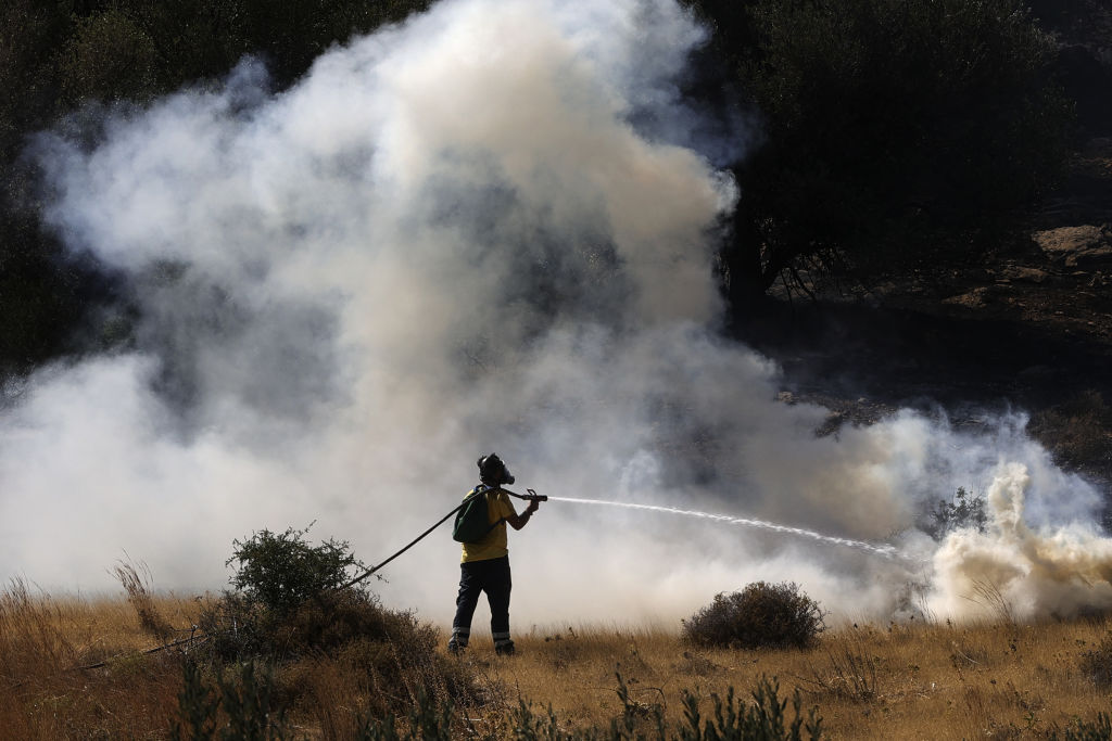
California isn’t the only part of the world dealing with catastrophic wildfires this year. Throughout the Mediterranean, a host of countries are also battling devastating fires, which both offer a further blow to economies already affected by the pandemic and which run the risk of making COVID-19 even more of an issue. It’s a nightmarish scenario all around, but it’s also one where it can be somewhat difficult to get the full scope of the issue.
As a new article by Andrew Couts at Gizmodo points out, this is a situation where advanced technology can be especially useful. The E.U.’s Copernicus program uses a host of satellites to monitor the environment from orbit — and in doing so shows just how bad things are.
Couts notes that the juxtaposition of satellite images of the island of Evia before and after the wildfires “provide yet another wake-up call reminding us that the climate crisis is not a future problem, but a current and ongoing disaster.” Looking at the two side by side makes for a sobering experience — offering a portrait of an ongoing crisis occurring simultaneously with a very different ongoing crisis. The Copernicus program’s Twitter feed offers a host of images from across the region, nearly all of them alarming in their implications.
The Mediterranean isn’t the only region where satellites are helping scientists and governmental authorities witness the full devastation of wildfires. A similar process has revealed just how badly California has been affected by wildfires this year. Will these images lead to an increase in measures taken to mitigate climate change? Let’s hope so.
Meet your guide