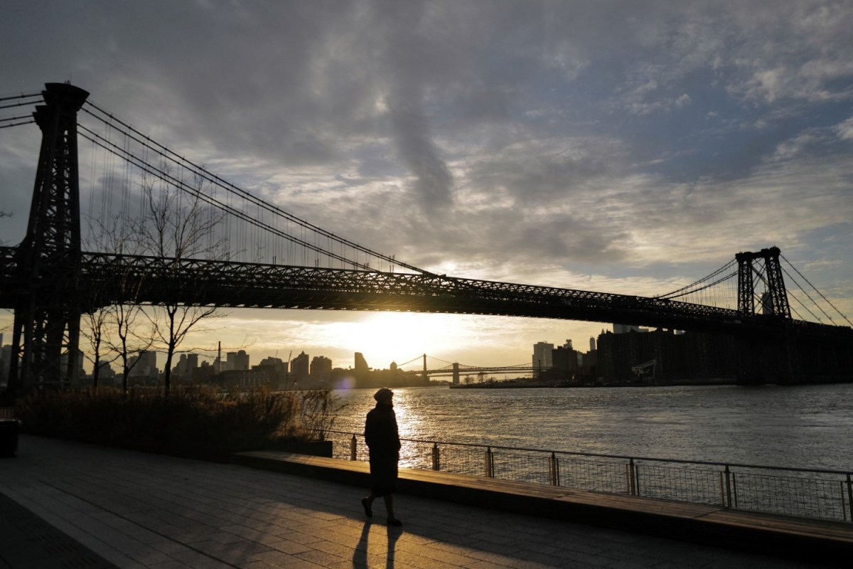
As the effects of climate change intensify, one of the ways it will be most dramatically felt is in cities and towns situated along coastlines. Scientists have already devised systems to illustrate just how much rising sea levels will affect different locations across the globe, and some municipal governments are taking steps to address potential flooding — an ambitious sea wall program in New York City is one high-profile example.
But it turns out that rising sea levels aren’t the only issue affecting coastal cities right now. There’s also the matter of them sinking — something that satellite imagery has put into sharp relief. A study published earlier this month in the journal PNAS Nexus shows that, as the authors phrase it, buildings and infrastructure in “major cities such as New York, Baltimore, and Norfolk are exposed to subsidence rates between 1 and 2 mm per year.”
The NOAA defines subsidence as “sinking of the ground because of underground material movement.”
“We measured subsidence rates of 2 mm per year affecting more than 2 million people and 800,000 properties on the East Coast,” said Virginia Tech professor Manoochehr Shirzaei — one of the study’s authors — in a statement coinciding with the paper’s publication. The professor pointed to this as a cause for alarm, as “[t]his is particularly in areas with a high population and property density and a historical complacency toward infrastructure maintenance.”
This sinking, at least in certain areas that border the Atlantic Ocean, is taking place at a greater rate than the sea levels are rising.
What Is the Best Way to Teach Students About Climate Change?
New Jersey is taking a comprehensive approachAs Live Science’s Robert Lea points out, the data on the ground sinking was calculated by comparing satellite imagery over the course of several years. Given some of the other effects of climate change on coastal infrastructure — the impact of Superstorm Sandy on New York City’s transit systems, for instance — this is sobering news, and illustrates the extent to which preparing for climate change will affect us all going forward.
This article appeared in an InsideHook newsletter. Sign up for free to get more on travel, wellness, style, drinking, and culture.


