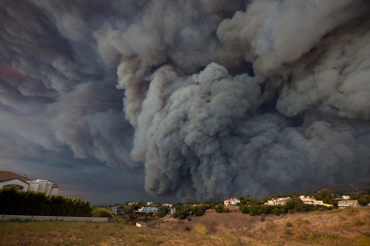
The deadliest wildfire in California’s history is creating plumes of smoke so large and thick that they can be seen from space.
Wildfires including the Camp Fire of Northern California and Woolsey in the southern portion of the state have destroyed over 210,000 acres of land, combined, including homes, businesses and forests and have claimed the lives of at least 44 people, Time reported.
Today vs. Last Monday
Views of California from space.
Massive amount of smoke across the Golden State.#CaliforniaWildfires #CampFire #HillFire #Woolseyfires pic.twitter.com/O0rQ5mPWFc— Drew Tuma (@DrewTumaABC7) November 11, 2018
But one of the quickest ways to truly understand the scope of the fires and their combined destruction was caught on camera by satellites in space. The images show the smoke hovering in the air, blocking out any view of the terrain below; reflecting the air quality alerts that have been issues across the state from San Francisco to Napa to Chico.
Meet your guide