
Even in COVID-19 times, traveling and commuting can be a necessity.
Fortunately, Google’s recently introduced a few tweaks to their Maps app that could help you get a little more safely from one spot to the next, all rolling out now or very soon.
To start, the app will display the total number of cases and deaths in your area, along with and a seven-day infection trend, local guidelines, and information related to testing centers, according to The Next Web.
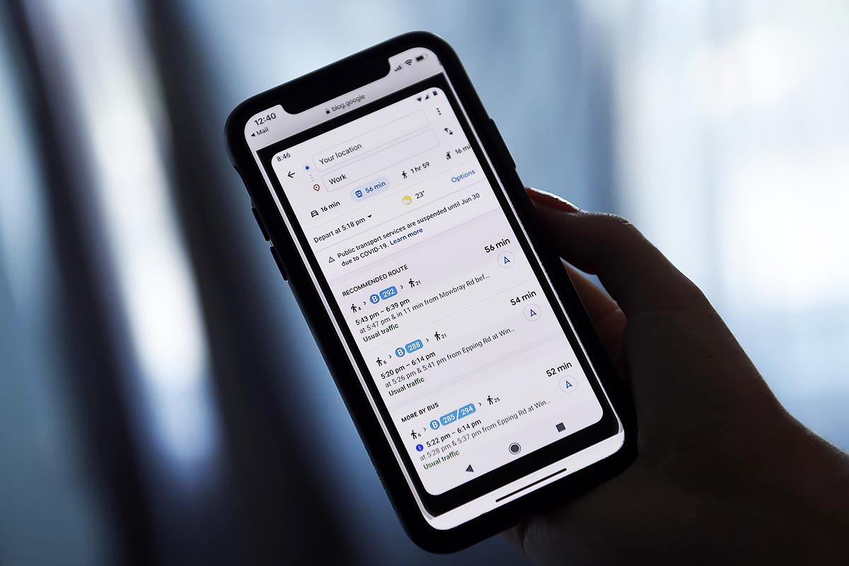
The phone app will also show you real-time passenger capacity in public transit (bus, train, subway), as sourced by users giving feedback on Google Maps.
And finally, Google Maps will let you track your delivery or takeout order (if you went through the app) and also show you expected wait times and delivery fees from local restaurants.
More information on these COVID-related updates can be found on Google’s blog.
More Like This


Whether you’re looking to get into shape, or just get out of a funk, The Charge has got you covered. Sign up for our new wellness newsletter today.