
Trying to predict the future is often a task that guarantees frustration, but one thing you can be reasonably certain about for 2026 is that finding important mineral deposits will continue to be a concern for governments and corporations alike. It’s that impulse that has prompted automakers to seek lithium in Brazil and Nevada to ponder the cost of mining; it might also play a role in the future of Greenland.
And apparently, one of the ways you can detect these minerals involves flying a plane more than 10 miles over the surface of the Earth. Earlier this month, NASA announced a new initiative in partnership with the U.S. Geological Survey, which makes use of a device called Airborne Visible/Infrared Imaging Spectrometer-5, or AVIRIS-5.
The technology that AVIRIS-5 uses to detect mineral deposits on Earth is based on the same principles that NASA probes have used to better understand the solar system. (Spectrometers have been used by NASA to analyze the surface of the Moon, for instance.) As Dana Chadwick of NASA’s Jet Propulsion Laboratory pointed out, this technology has a host of applications. “The breadth of different questions you can take on with this technology is really exciting, from land management to snowpack water resources to wildfire risk,” Chadwick said.

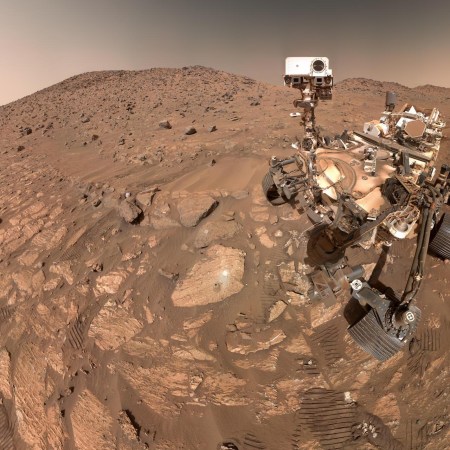
NASA’s Next Mission to Mars Is Taking an Unexpected Route
It’ll be in the neighborhood of Earth for a whileEarlier this year, NASA and the U.S.G.S. began work on the Geological Earth Mapping Experiment (or GEMx) project, designed to locate minerals across the western United States. An article from the data analysis company EarthDaily called the results “some of the highest fidelity airborne hyperspectral data ever collected for mineral exploration.” Can that help unearth more valuable minerals — and help benefit future space missions? It’s a compelling scientific combination.
More Like This


This article appeared in an InsideHook newsletter. Sign up for free to get more on travel, wellness, style, drinking, and culture..