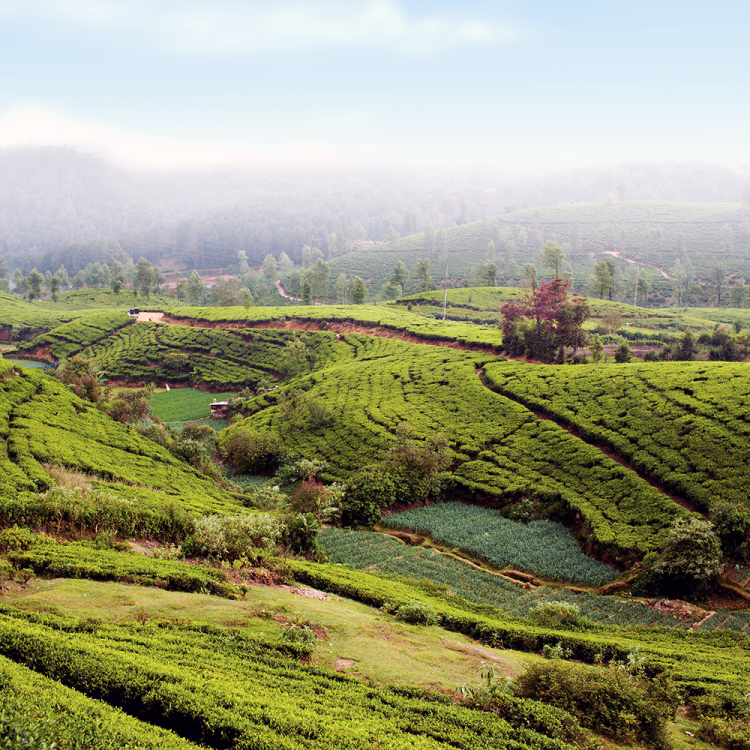
The Gabrielino Trail once snaked some 26 miles through the San Gabriel Mountains, crossing all manner of obstacle and wildlife on its way from Sierra Madre to Pasadena. A favorite of the Tongva as well as many an Angeleno mountain biker, it closed in 2009 following the Station Fire.
But over the past few months, the Mount Wilson Bicycling Association has been working tirelessly to bring it back to life.
“Conservation and sustainable trail maintenance is a vital part of MWBA’s mission,” says Erik Hillard, Communications Chair at MWBA. “[We want] to keep trails safe and viable for all trail activities, including biking, hiking, running and equestrian pursuits,”
The MWBA started when Forest Rangers told mountain bikers that hikers were issuing a lot of complaints against them. So they started reaching out to the local two-wheeled community to “bring out the best in mountain biking by encouraging low-impact riding, volunteer trail work participation, cooperation among different trail user groups, grassroots advocacy and innovative trail management solutions,” explains Hillard.
That advocacy, in turn, has led to a much-improved and better-maintained circuit of trails in and around L.A.
So we sat down with Hillard for a status update on the Gabrielino, along with some tips, gear and trail recommendations for neophytes looking to give this wild sport a spin.
InsideHook: Give us the elevator speech about your organization.
Erik Hillard: The Mt. Wilson Bicycling Association was founded in 1986 to be advocates of responsible trail use for mountain bikers in the Angeles National Forest. We do volunteer trail work and support others who do. We encourage and foster [the sport’s] growth, we educate mountain bikers on trail etiquette with each other and with other user groups, and of course, we promote and organize regular trail maintenance days in the San Gabriel Mountains.
IH: When is your next trail work scheduled?
EH: Our regularly scheduled trail work days are the third weekend of every month. We also head out if any additional work needs to be done, whether clearing a felled tree of the trail or perhaps removing a slide after a storm. Our volunteers and trail liaisons play a big role in alerting us of any additional work or problem areas. On May 20th, we’ll be working on the Sunset Ridge trail. And on June 17th, a TBD trail in the Angeles National Forest.
IH: How did the MWBA get involved with the Gabrielino?
EH: MWBA has been doing trail work in the Angeles National Forest for a long time and have partners in the local USFS, as well as other trail work organizations like CORBA (Concerned Off Road Bicyclists Association). Steve Messer, President of CORBA, has been key to the restoration of this section of the Gabrielino Trail, and MWBA stepped up to the plate with our volunteers to get the work done. He spent countless hours flagging the original trail route and has secured grants for professional contractor work that requires more engineering and equipment than what our volunteer base can provide. MWBA chainsaw sawyers worked with CORBA to clear the original trail path in preparation for volunteer work. There have been close to 100 individuals and over 1,400 hours of volunteer work put into the project so far.
IH: What kind of ride is the Gabrielino?
EH: There are a lot of stream crossings, there’s poison oak, a decent amount of wildlife activity (deer, bears, mountain lions, snakes) because there’s water, a lot of up and down, steep climbs and steep descents, and it narrows (to just 18 inches). You need to keep your wits.
IH: What might be a better ride for beginners?
EH: A good beginner MTB ride in the Angeles National Forest is right next to JPL in Pasadena. This section of the Gabrielino trail from JPL to the USFS Dam offers technical features and water crossings that are fun for all levels of riders. However, unlike the majority of trails in the Angeles National Forest, this section of the Gabrielino does not have steep climbs along the way. It’s a good trail to start out with — just be careful in the water crossings, as there are commonly big holes that can grab your wheels, and with every rain storm the trail changes dramatically. After a large storm, the crossings can actually be very swift and impassible, so its best to avoid the area immediately after heavy rains.
The Cherry Canyon area near La Canada also offers a variety of trails and fire roads that can be good for beginners and intermediate riders. It can get hot in the summer, so be sure to ride prepared. There are plenty of hikers on the trails here, and it’s wise to use a bell and be courteous.
IH: What are some essentials every new rider needs?
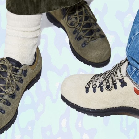
EH: A good backpack with fuel (water and snacks), a shell by Ringtail, a first-aid kit or Worst Case survival kit, a tool roll (like the ACRE by Mission Workshop) and a backpack (like this one). Also a bell, so that when you’re going downhill you can alert the hikers as you slow down for them. Here’s an article I wrote a while back for MWBA on being prepared for an MTB ride.
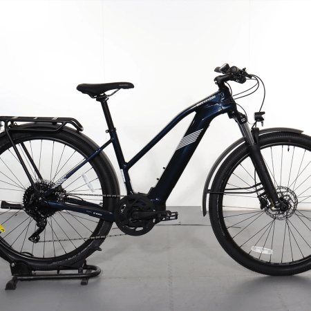
IH: What kind of bike do you ride?
EH: Personally, I have a full suspension bike, a geared hardtail and a single speed. I’m a big fan of multiple bikes, so when one is down for repairs you always have something to ride. Different bikes also excel on different trail types, and its nice to have a choice.
IH: Any must-know tips, trick or advisories before you hit the trail?
EH: The San Gabriel Mountains are the youngest mountain range in the contiguous United States, which makes us the rockiest, steepest, most exposed mountains in the country. They grow at a rate of approximately one inch a year. For new/all riders we suggest the following:
- Be smart: Let someone know when you leave and when you get back. Better yet, do that and ride with someone. Also, the Angeles National Forest is managed by the USFS. which means you might need an Adventure Pass to park. If there are amenities such as a restroom, picnic tables, etc., you will need an Adventure Pass. You can pick up a Daily Adventure Pass for $5 at any local bike shop or REI in the area. Annual passes are $35 and a much better deal if you plan to visit the Angeles National Forest often.
- Be Prepared: Bring tools in case you get a flat, plus lots of water and nutrition.
- Be Aware: Stay on the trails and don’t cut corners or try to ride lines that don’t exist. We work to maintain the delicate balance between nature and man, and going off trail damages the ecosystem that can take years to rebalance.
- Be Courteous: ANF supports an urban population of over 12 million people. It’s our responsibility to know and follow the rules of the trails. We always yield and say “Hi” to hikers and horses. Also if you are going downhill, you need to yield to the mountain biker who is climbing up. Yield means slow down and stop if needed for hikers to safely pass. Lastly, wear a bell! If you don’t have a bell, you can go to any local bike shop in LA and pick one up. MWBA has free bells too and if you come out to trail work be sure to ask for one.
IH: And finally, can you recommend us five of your favorite trails in the area?
EH: One of the best things about the ANF is the variety of styles of riding you can do. There is something for everyone. Listed below are great trails and local favorites, from easiest to more advanced.
The Gabrielino Trail from JPL to USFS Dam (mentioned above) is a great trail for beginners or even a nice family ride. We see lots of kids and parents riding this trail, plus there’s a ton of shade cover. We see a lot of beginner rides on this trail.
The Brown Mountain to Ken Burton to Gabrielino to JPL is a great loop for an intermediate rider. You start from JPL and ride up Brown Mountain, which is a semi-steep fire road, pass the first saddle and keep riding up to the left for an easy and fun ride up, for a total of approximately six miles of climbing. The fire road ends here and you will descend on a single track called Ken Burton. This takes you along the back side, where the trail gets narrow and exposed. There are over 20 switchbacks, but there are also many flowy and fast sections. Once you reach the river bed, you follow the tire tracks and pink ribbons to where the single track picks up again. Then climb back up over the USFS Dam and quickly descend to the Paul Little Campground. From there you are back on the Gabrielino Trail, which will take you back down to JPL. Be aware that after heavy storms the water in the river bed can be high and swift. Check local conditions before heading out for this loop.
The Brown Mountain to El Prieto is probably the most famous ride in our area. It’s an intermediate to advanced ride, and we’ve met people who travel from all over the world to ride El Prieto. You start your ride at the JPL Windsor parking lot, climb up Brown Mountain to the first saddle. From here you head straight and descend the Fern Truck Trail fire road for approximately one mile. The El Prieto entrance is on the right side of the fire road, and though it is well marked, it can be easily missed if you are not familiar. If you hit a small creek crossing, you’ve missed the turn and should go back just a little bit and you’ll see the entrance on your left. El Prieto has many water crossings, lots of shade, poison oak, rock drops, switchbacks, flowy and fast parts, and technical exposed sections. It has a little bit of everything for everyone. The trail is also popular with hikers and an occasional equestrian, so yielding is essential and a bell is appreciated. The trail exits near the start the Brown Mountain climb.
The Chilao Area Mt. Hillyer Loop is deeper in the Angeles National Forest, and one of the best rides is the Chilao Area and Silver Moccasin Trail. You go up Hwy 2 from La Cañada for approximately 26 miles to the Chilao Campground and Visitor Center. A mellow fire road climb starts from the campground area and comes to a paved road. Turn right and climb up to Rosenita Saddle, where you join the Mt Hillyer single track. This will take you on a steep climb up Mt. Hillyer. From the top, you will descend a fun, rocky, technical trail. There are lots of rock features, steep, sandy descents, switchbacks, etc. Totally worth the drive, and it’s great when it’s hot outside. At 6K elevation, it’s always at least 10 degrees cooler than in the city. Do bring a trail map of the area so you don’t get turned around at the many trail intersections near the campgrounds.
The Mt. Wilson Front Side Single Track Tour is a popular technical ride where you can take a shuttle up or earn your turns by climbing up via the Mt. Lowe fire road or the Mt. Wilson Toll Road. Most people would choose a full suspension bike for this advanced ride, with lots of exposure and technical features. The descent starts shortly after Eaton Saddle, where you climb to and through the Mueller Tunnel. From the first saddle, you can ride down the Mt. Lowe fire road or head left and up on the Mt. Lowe East trail. Mt Lowe East is very exposed and technical. The trail exits onto the Mt. Lowe fire road and you head down to the Middle Merrill-Idlehour-Inspiration Point intersection. Middle Merrill is also technical and exposed. It ends at the Echo Mountain trail. If you go left, you will visit an historical landmark, the “Echo Mountain House.” Only the remains are left, but it’s a nice place to take in local history and a good resting place to refuel before the next part of the ride. If you go right where Middle Merrill meets Echo Mountain trail, you will ride up for approximately one mile and reach the paved section of the Mt. Lowe Railway. Head down for a very short distance, and on the right you will see the trailhead for Sunset Ridge. Sunset is technical and exposed near the top, but turns into a rocky, fast and flowy trail towards the bottom. The end of the trail is marked by hopping back on the paved Mt. Lowe Road. You can either end your ride here or you can continue right on to Lower Sunset trail, a quick, short, fast and flowy section to Millard Campground. Continue through the camp and climb the fire road for a mile, where you will briefly descend and then make a sharp right turn onto a single track that brings you to El Prieto. El Prieto will be on your left once you go through a small creek crossing.
Images courtesy of Erik Hillard
This article was featured in the InsideHook LA newsletter. Sign up now for more from the Southland.