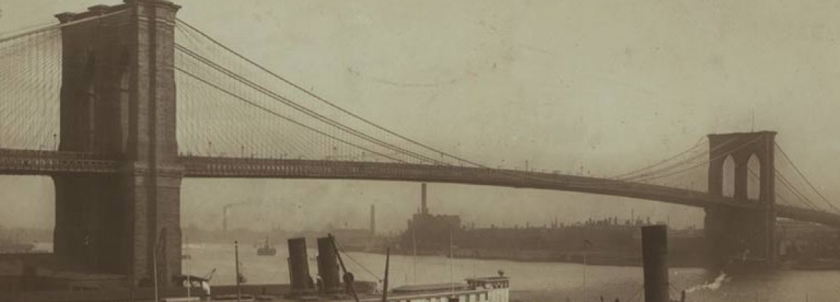
It makes sense that software engineer Dan Vanderkam started his OldNYC project—an interactive map of New York City, with images of each location as they appeared between 1870-1970—while he was working at Google. A transplant from the West Coast, Vanderkam tells RealClearLife that the project “helped me understand some of the ways in which [New York] has changed. I learned from OldNYC photographs that my street in [Brooklyn] used to have a trolley track.”
Utilizing the Milstein Collection, a group of digitized vintage photographs, from the New York Public Library, Vanderkam and a team of developers worked on their free time and weekends over 18 months to match each location with its current location on the map. Some locations include multiple images. Needless to say, it was a major undertaking. Check out the NYC map here, and click here to listen to Vanderkam talking in greater depth about the project (cue video to 12:00 for his portion).
If you’re wondering if Vanderkam’s done any other cities, you’re in luck: He produced a similar project for San Francisco, even going a step further and doing a “before/after” for many of the locations. RealClearLife decided to do the same for a few well-known locations on Vanderkam’s NYC map to give you a taste of how much they’ve changed throughout the years.
This article was featured in the InsideHook newsletter. Sign up now.